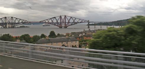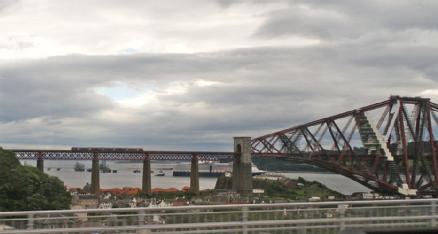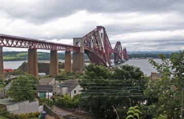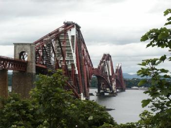
Forth Bridge |
South Queensway - Edinburgh, Great Britain (UK) (Scotland) |
|
| Address |
|
| Floor area | unfortunately not known yet |
Bridges and Tunnels
- Historic Engineering Landmarks
- World Heritage Site
|
Opening times
|
|||||
|
Status from 10/2019
|
We don't know the fees. | ||||
| Contact |
|
||||
| Homepage | www.theforthbridges.org | ||||
| Location / Directions |
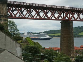
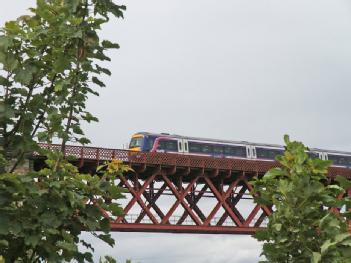
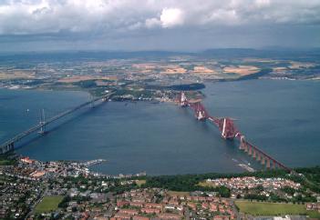
The Firth of Forth is the estuary or firth of Scotland's River Forth, where it flows into the North Sea, between Fife to the north and Lothian to the south. The Forth Bridge is a cantilever railway bridge over the Firth of Forth in the east of Scotland, 9 miles (14 kilometres) west of Edinburgh City Centre. There are many ways to enjoy a visit to the Forth Bridges Viewpoints to see the Forth bridges are abundant and can be found on either side of the Firth of Forth, where there are also plenty of walks and points of interest to explore. Travel to the bridges is easy by rail, car, boat, air, on foot or by bicycle. |
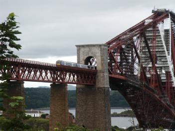
| Description | The Forth Bridge is considered an iconic structure and a symbol of Scotland, and is a UNESCO World Heritage Site. Dimensions It is 8,094 feet (2,467.05 m) in length, and the double track is elevated 150 feet (45.72 m) above the water level at high tide. It consists of two main spans of 1,700 feet (518.16 m), two side spans of 680 ft (207.3 m), and 15 approach spans of 168 ft (51.2 m). Each main span consists of two 680 ft (207.3 m) cantilever arms supporting a central 350 feet (106.7 m) span truss. The weight of the bridge superstructure was 50,513 long tons (51,324 t), including the 6.5 million rivets used. The bridge also used 640,000 cubic feet (18,122 m3) of granite. The three great four-tower cantilever structures are 361 feet (110.03 m) tall, each tower resting on a separate granite pier. These were constructed using 70 ft (21 m) diameter caissons; those for the north cantilever and two on the small uninhabited island of Inchgarvie acted as cofferdams, while the remaining two on Inchgarvie and those for the south cantilever, where the river bed was 91 ft (28 m) below high-water level, used compressed air to keep water out of the working chamber at the base. Engineering principlesThe bridge is built on the principle of the cantilever bridge, where a cantilever beam supports a light central girder, a principle that has been used for thousands of years in the construction of bridges. Materials The bridge was the first major structure in Britain to be constructed of steel; its French contemporary, the Eiffel Tower, was built of wrought iron. Large amounts of steel had become available after the invention of the Bessemer process in 1855 – however the British Board of Trade had limited the use of steel in structural engineering, as the produced steel was of unpredictable strength due to the production process. This limit was lifted in 1877 after the development of the Siemens-Martin open-hearth process in 1875, which yielded steel of consistent quality. The original design required 42,000 tonnes for the cantilevers only, of which 12,000 tonnes was to come from Messrs. Siemens' steel works in Landore and the remainder from the Steel Company of Scotland's works near Glasgow. When modifications to the design necessitated a further 16,000 tonnes, about half of this was supplied by the Steel Company of Scotland and half by Dalzell's Iron and Steel Works in Motherwell. About 4,200 tonnes of rivets came from the Clyde Rivet Company of Glasgow. Around three or four thousand tons of steel was scrapped, some of which was used for temporary purposes, resulting in the discrepancy between the quantity delivered and the quantity erected ApproachesAfter Dalmeny railway station, the track curves very slightly to the east before coming to the southern approach viaduct.[28] After the railway crosses the bridge, it passes through North Queensferry railway station, before curving to the west, and then back to the east over the Jamestown Viaduc Visitor centre plans Network Rail plans to add a visitor centre to the bridge, which would include a viewing platform on top of the North Queensferry side, or a bridge climbing experience to the South Queensferry side. In December 2014 it was announced Arup had been awarded the design contract for the projec |
[dsp_museum_detail.cfm]
| Data Compliance | More Information |
 forthroadbridge.org